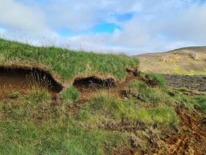
Soil erosion monitoring
Kodl, G., Streeter, R., Cutler, N., Bolch, T.
Arctic tundra shrubification can obscure increasing levels of soil erosion in NDVI assessments of land cover derived from satellite imagery (In progress)
I have a background in Physical Geography and Earth Sciences, with a strong interest in both fundamental and applied scientific research. My PhD focused on monitoring and understanding the impacts of climate and anthropogenic activities on geomorphological and ecological dynamics in the Arctic tundra. Specifically, I examined how topography creates highly heterogeneous landscapes. These landscapes shape microclimates and drive seasonal variations in summer and winter conditions, which in turn influence landscape development. By integrating ground-level data with drone and satellite datasets, this research developed an improved understanding of the nature-driven processes shaping tundra environments.
Alongside this, I have developed a strong interest in forest monitoring using satellite imagery and drones. This field is particularly exciting due to the growing need for accurate monitoring strategies, as the forest sector plays a critical role in offering nature-based solution. In my current position at Assimila, I got the chance to contribute in developing new environmental monitoring methods, with a particular focus in nature finance applications.
________________________________
Affiliations
since 2025 Senior Earth Observation Applications Scientist, Assimila, Reading, UK
• R&D environmental mapping and monitoring applications for nature finance
(biodiversity, forest disturbance, wetlands)
2024 – 2025 Data Scientist, Space Intelligence, Edinburgh, UK
• Tropical forest mapping and monitoring for Carbon related projects
(deforestation risk analysis, land cover mapping, afforestation verification)
2020 – 2024 PhD researcher (geomorphology / terrestrial ecology), Research and Teaching assistant (remote sensing, spatial statistics, fieldwork) at the University of St Andrews, School of Geography and Sustainable Development, UK
2019 – 2020 Science Communicator and Intern (monitor geohazards) at Remote Sensing and Geoinformatics, GFZ German Research Centre for Geosciences, Helmholtz-Centre Potsdam, Germany
• Develop methods to assess land surface deformation using earth observation
• Create and facilitate GIS and remote sensing web-seminars
2020 GIS Consultant, Integration Gmbh, Berlin, Germany
• Automation quality control of electrification grid maps in Mali and Niger
2014-2017 Research and Teaching assistant in Mineralogy and Structural
Geology, FAU Erlangen-Nürnberg, Geozentrum Nordbayern, Germany
Degrees
2020 – 2024 PhD in Geography and Sustainable Development, University of St Andrews, UK
• Monitoring soil erosion and vegetation patterns related to microclimatic conditions in Icelandic and Fennoscandian tundra using UAV, airborne and satellite (multispectral, LiDAR), soil probes and vegetation data
2011 – 2017 MSc & BSc in Geosciences, Friedrich-Alexander-University Erlangen-Nuremberg, Geozentrum Nordbayern, Germany
2017 – 18 Study stay at Universidad de Guadalajara, Hydrometeorology and Oceanographics, Guadalajara, Mexico
2013 – 14 Study stay at AGH University of Science and Technology, Geology, Krakow, Poland
Email
g (at) kodl.eu
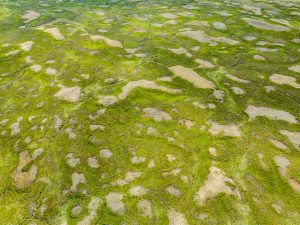
Arctic tundra shrubification can obscure increasing levels of soil erosion in NDVI assessments of land cover derived from satellite imagery (In progress)
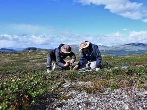
Microclimatic winter conditions shape soil erosion and vegetation patterns in sub-Arctic tundra (In progress)
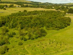
Using satellite and drones to monitor health and carbon sequestration in recovering ecosystems